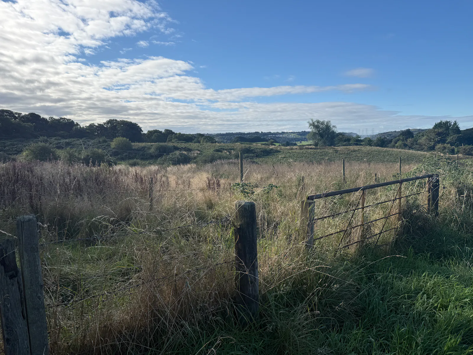
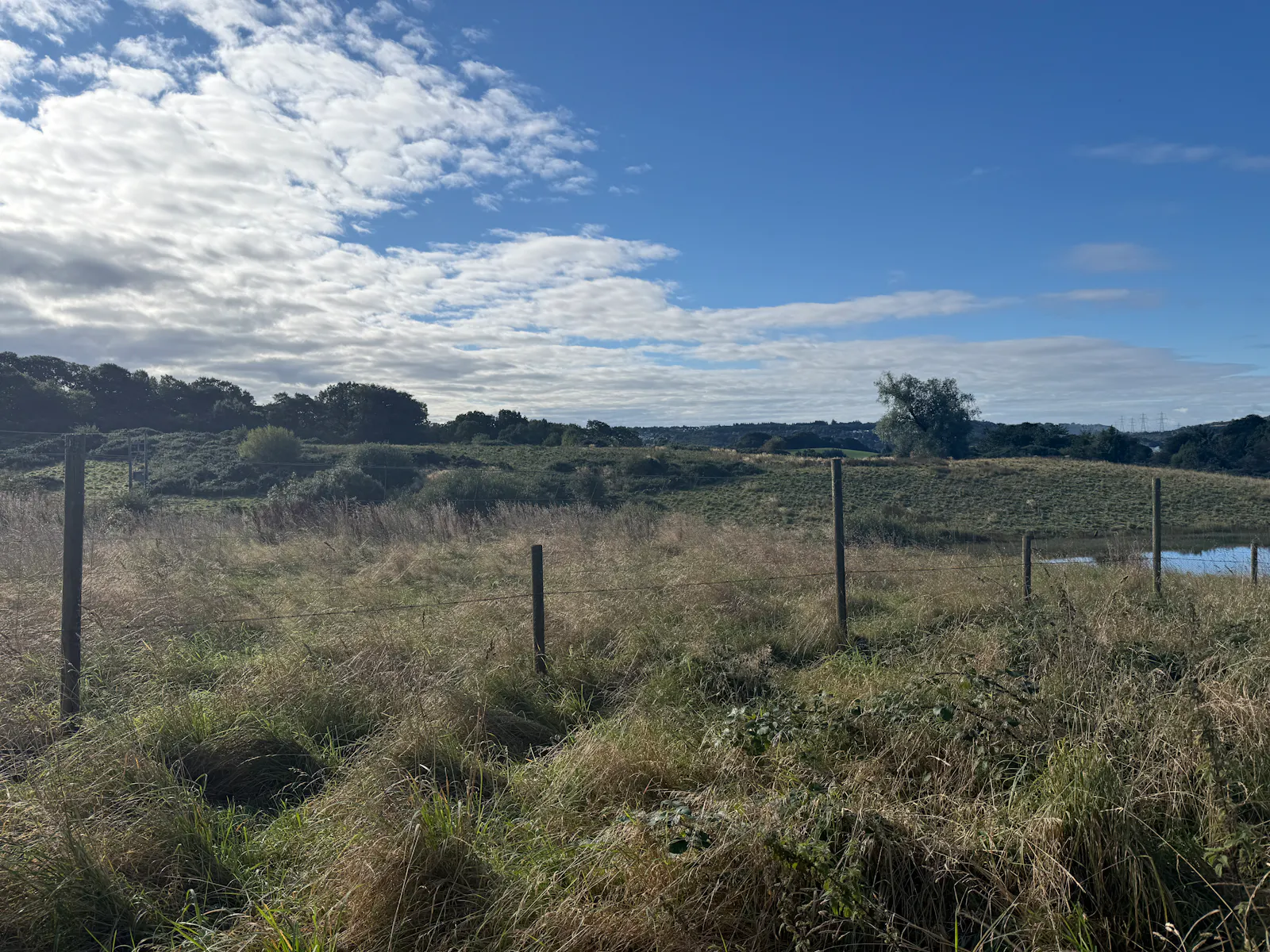
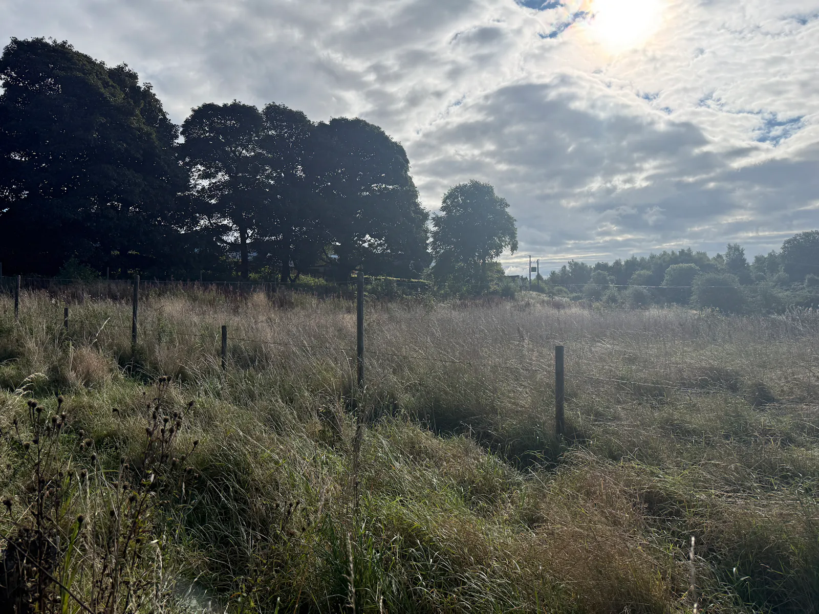
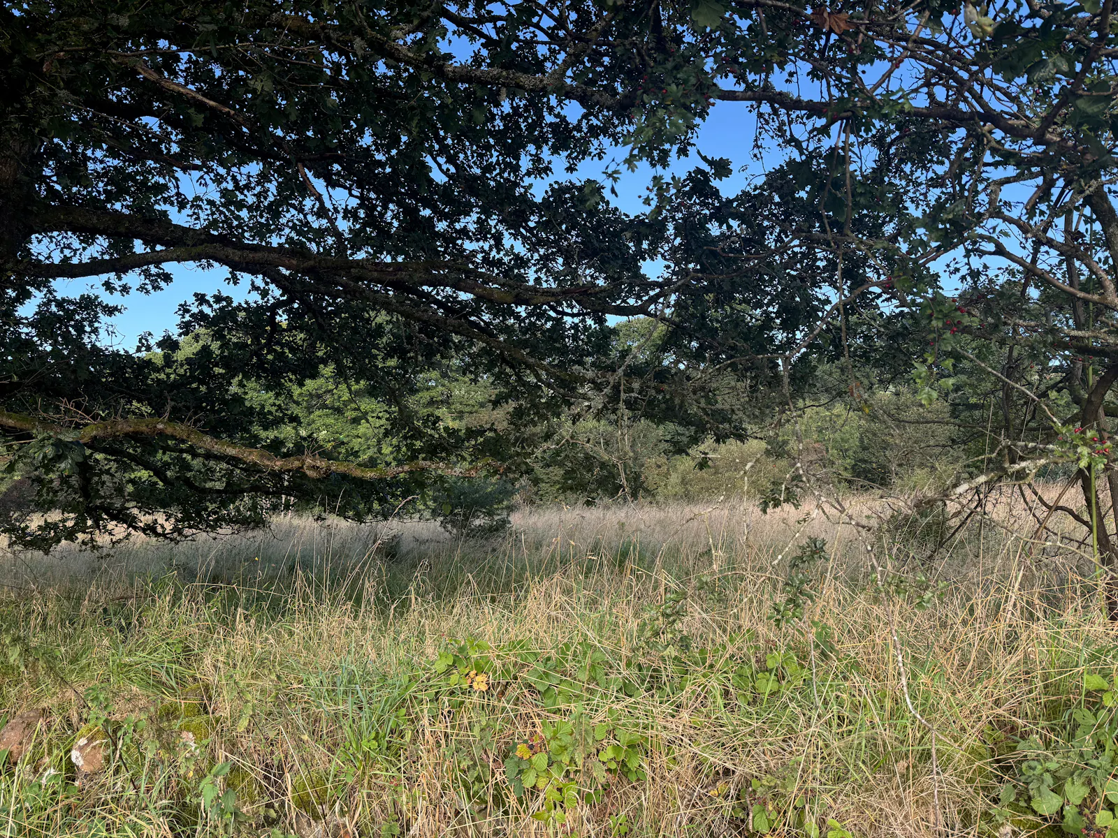
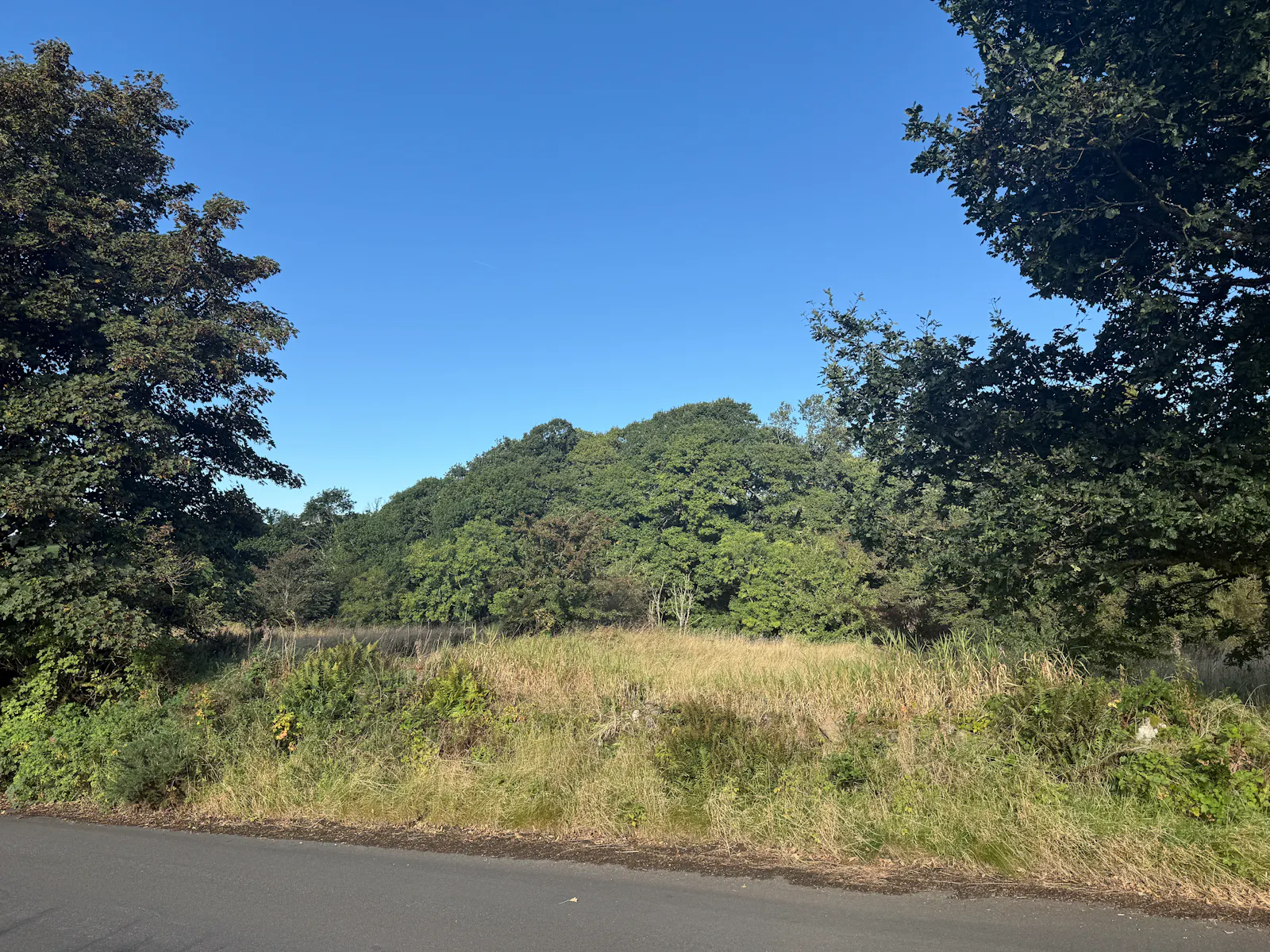
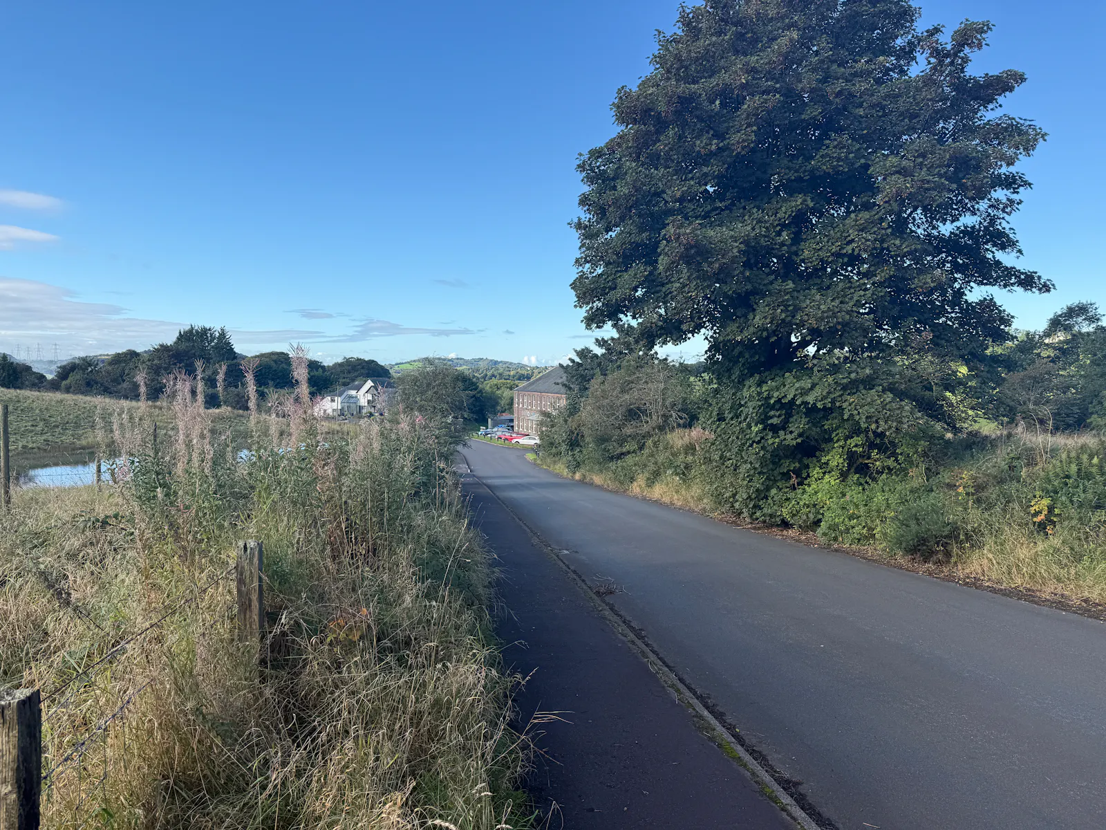
4.5 Ha (11 acres) of grazing ground available to let by Banton Mill.
Summary
- Highly Accessible
- High amenity
- May be suitable for equestrian or grazing purposes
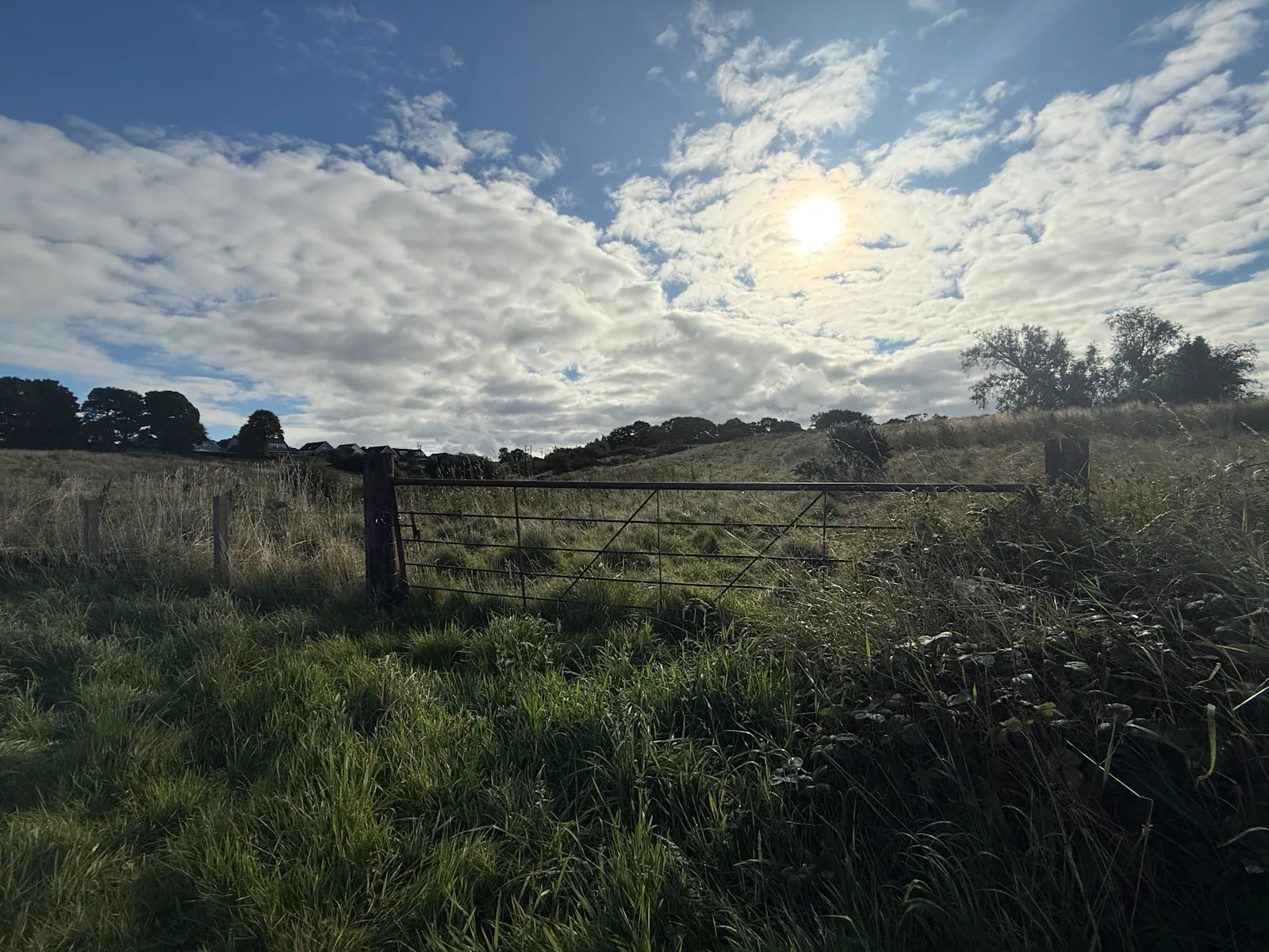
- Agricultural field gate providing access from the road
Location
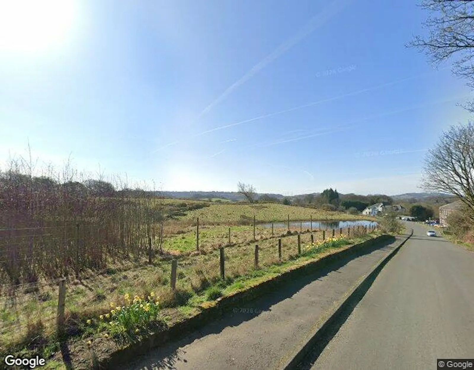
Banton is a small village situated near Kilsyth in North Lanarkshire, Scotland. The A803 runs south of the village, allowing easy connection to Kilsyth and Glasgow to the west and Falkirk and Stirling to the East. The land can be accessed via Banton Road, which has full and unrestricted right of access in place, access via agricultural field gates. The land is in close proximity to the Mill Pond. Appropriate caution should be exercised at all times during inspection.
The what3words location is: https://w3w.co/reshaping.coasters.whizzing
For all enquiries please call the rural team at DM Hall on 01786 833 800 or email rural@dmhall.co.uk.
Get directions from Google Maps
Mainline Stations
-
Croy48 mins
-
Cumbernauld65 mins
-
Greenfaulds72 mins
-
Lenzie140 mins
Underground Station
-
Chesham6308 mins
-
Amersham6348 mins
-
Chalfont and Latimer6371 mins
-
Chorleywood6402 mins
Further Information
Rent £1,000 per annum Offers over £1000 per annum
Estate Charge n/a
EPC Rating This property has been set as EPC exempt.
Reason: No building present
Description
4.5 hectares (11 acres) of grazing ground are available to let to the west of Banton for annual grazing or equestrian use. The land is divided into two distinct parcels, both of which benefit from direct access off Banton Road. Boundaries comprise a combination of stone walls and post-and-wire fencing of varying condition. The eastern field excludes the mill pond, and there are no buildings or field shelters situated on the land.
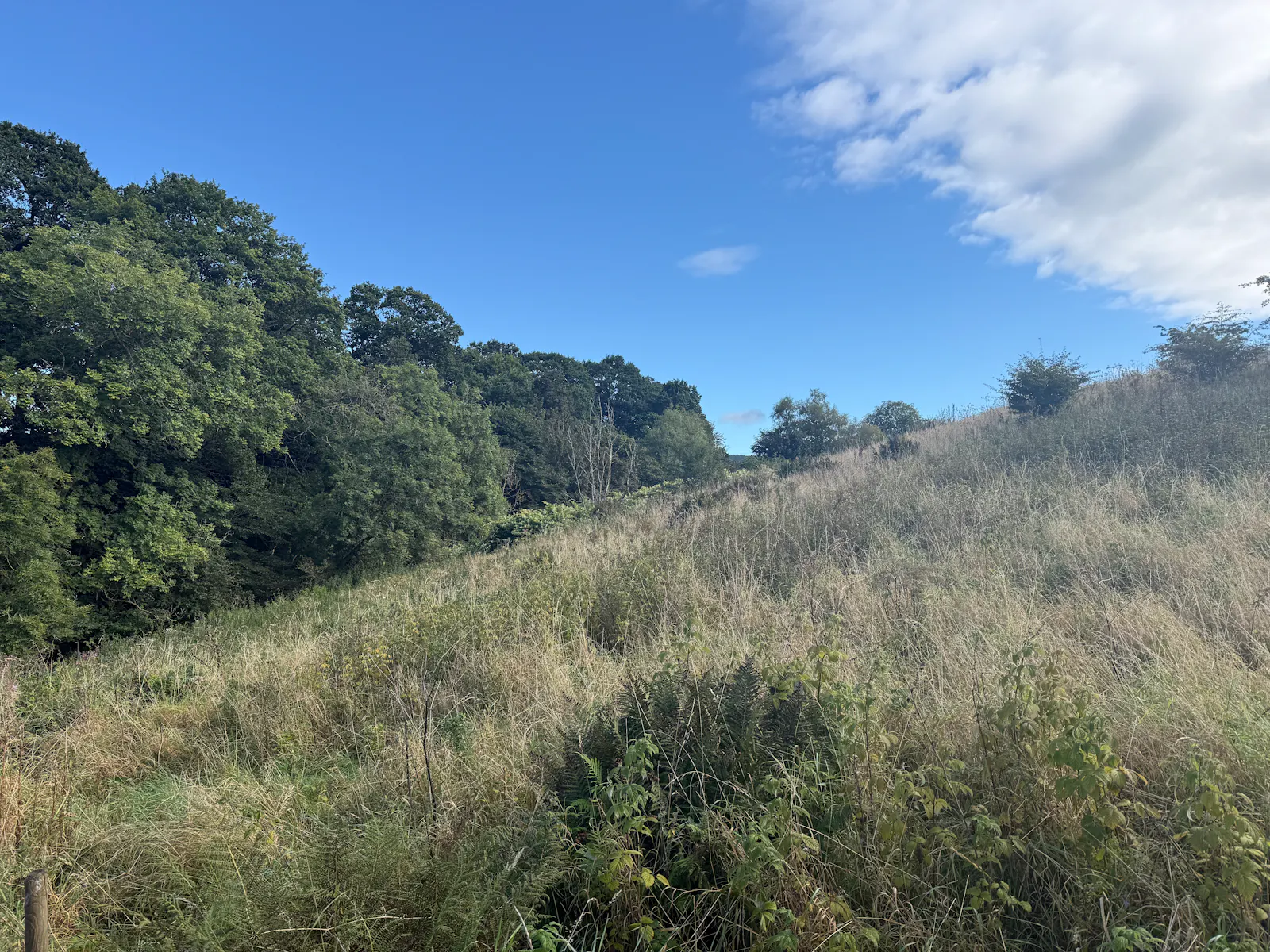
The subjects generally slope towards the centre of the holding and lie between approximately 80 metres and 95 metres above sea level, although the western field falls more steeply towards the Banton Burn. The land is shown, in part, on the James Hutton Institute Land Capability for Agriculture maps as Class 3.2, while the soils are described on the Institute's soil maps as imperfectly drained brown soils of the Giffnock Soil Association. According to SEPA Flood Maps, there are small areas of surface water flood risk adjacent to the pond and within part of the eastern field. The property is crossed by overhead electricity lines supported on electricity poles. We are not aware of the land being subject to any environmental designations or grant scheme obligations.
Gallery