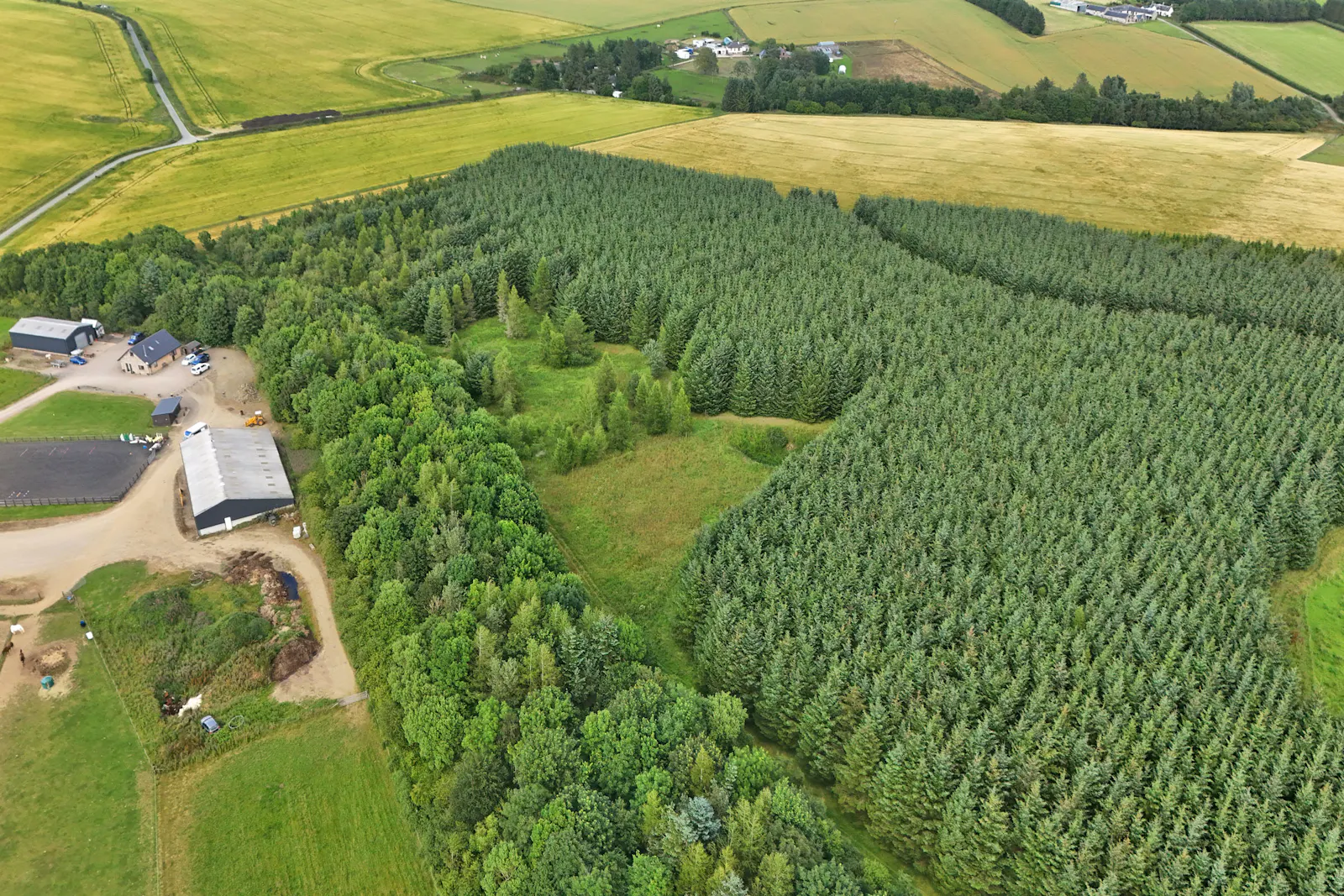
Land at Upper Gariochsford, Upper Gariochsford
Rothienorman, Inverurie, AB51 8XU
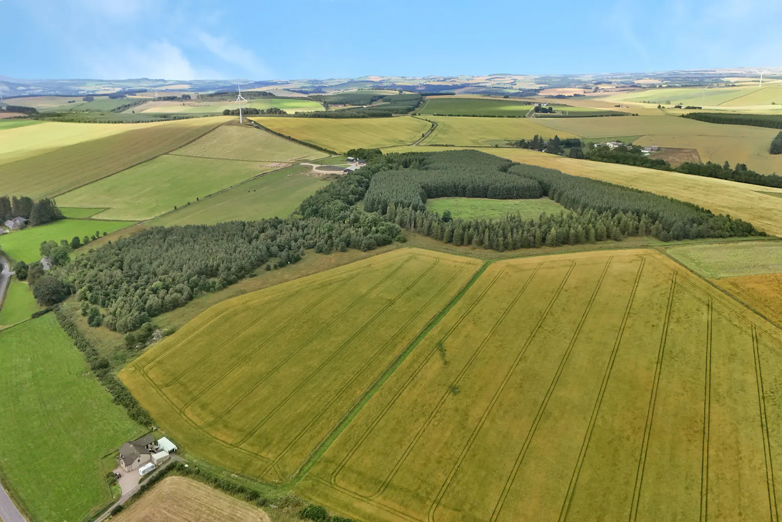
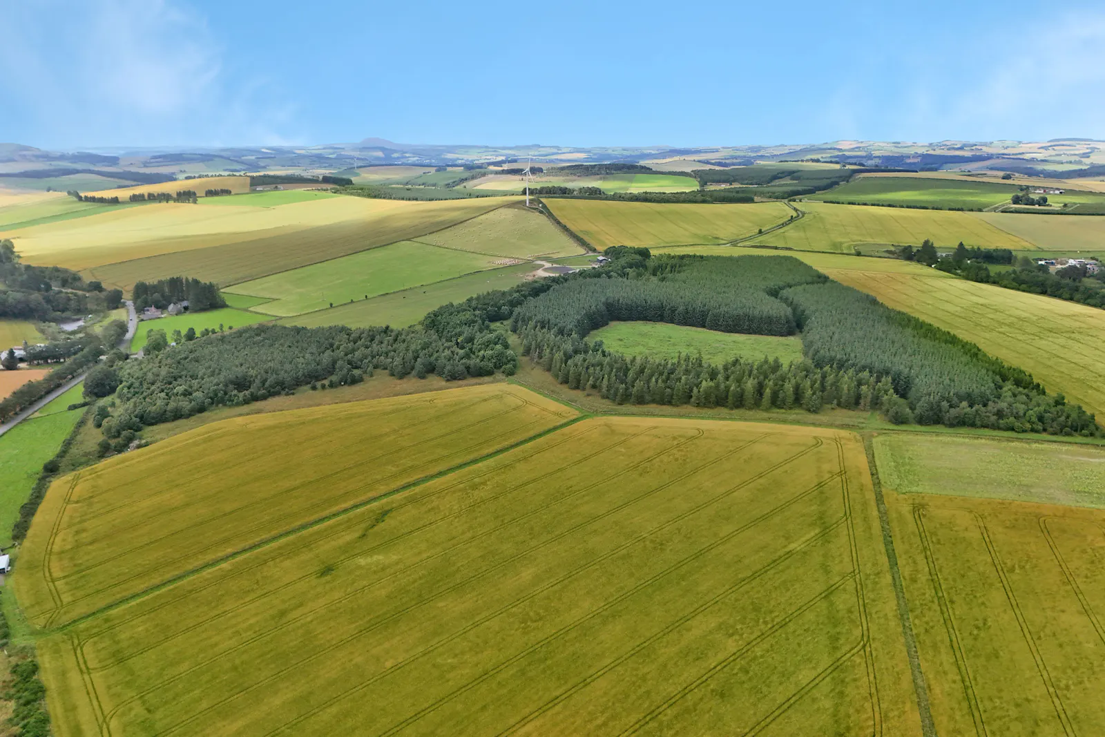
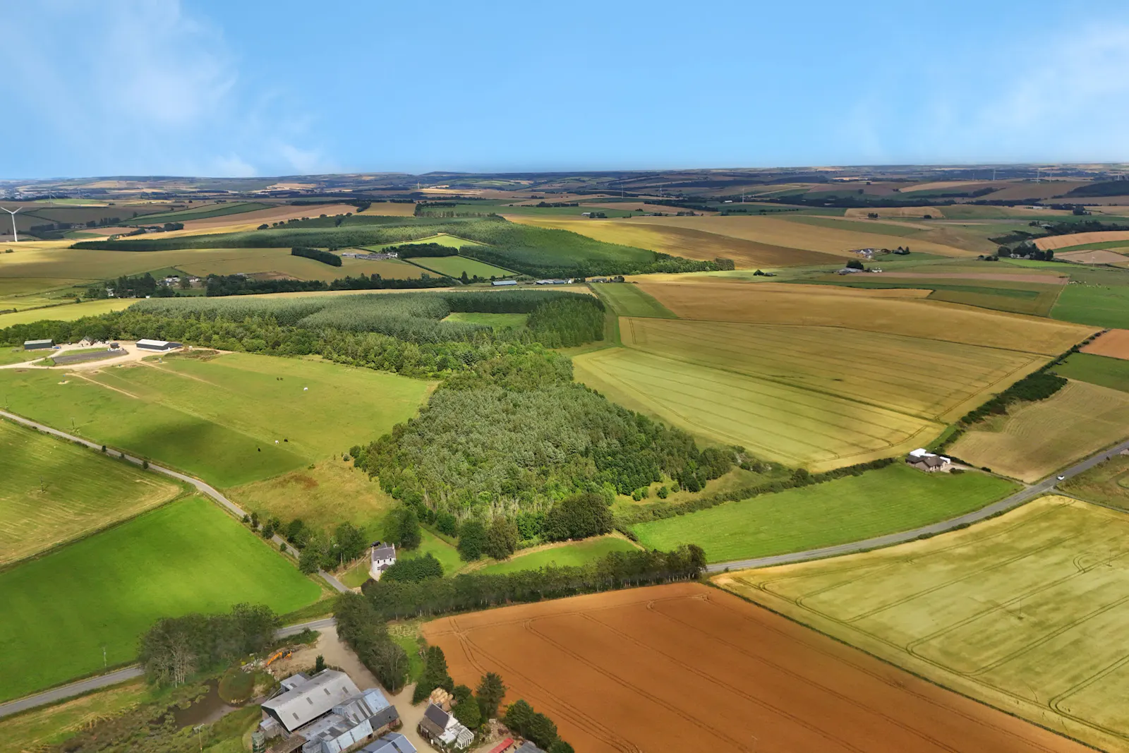
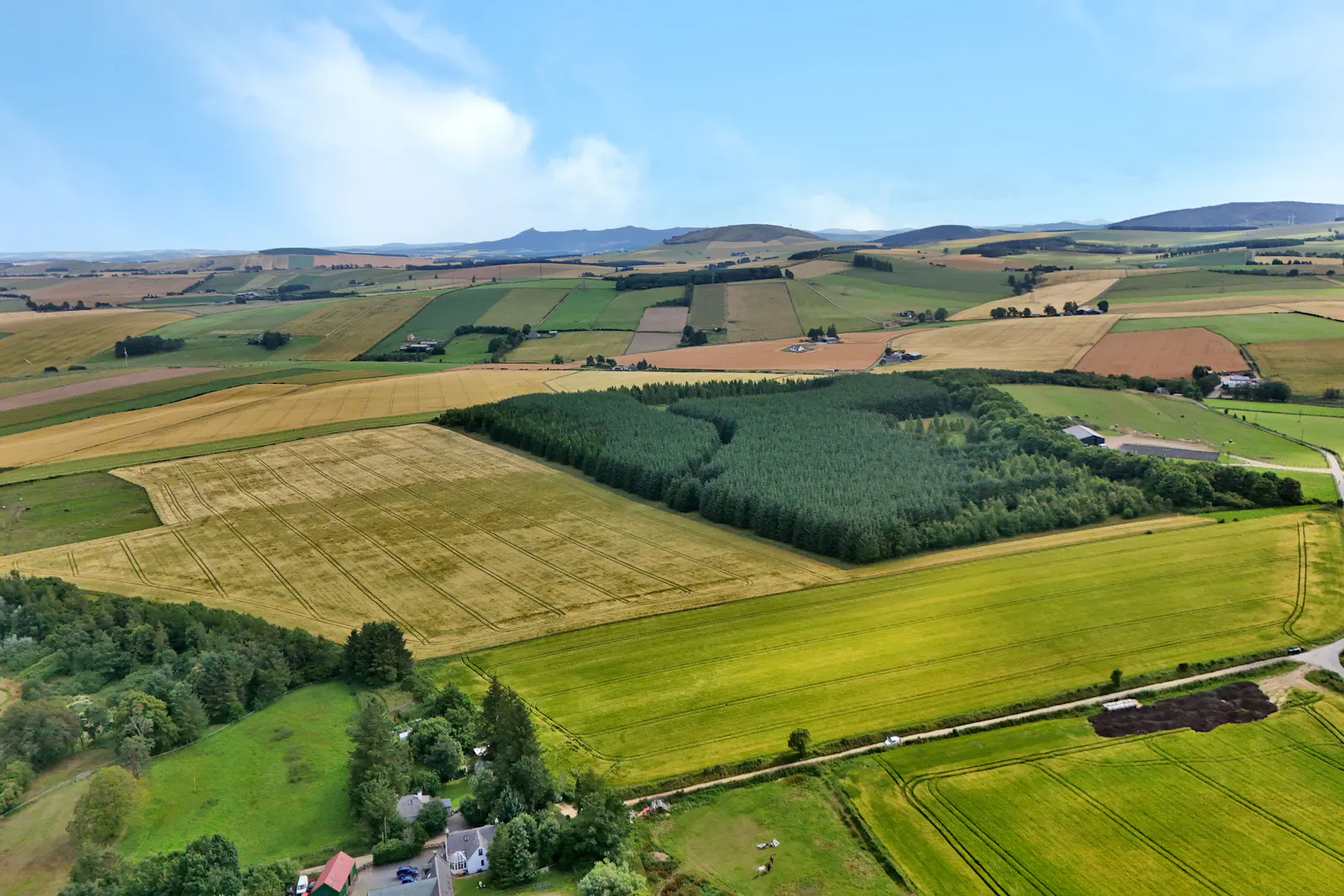
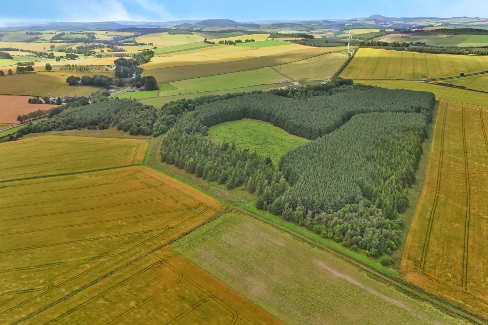
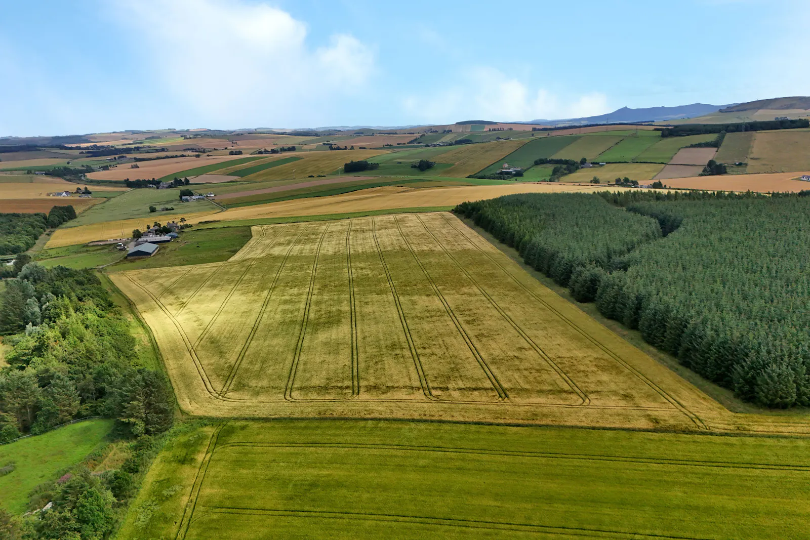
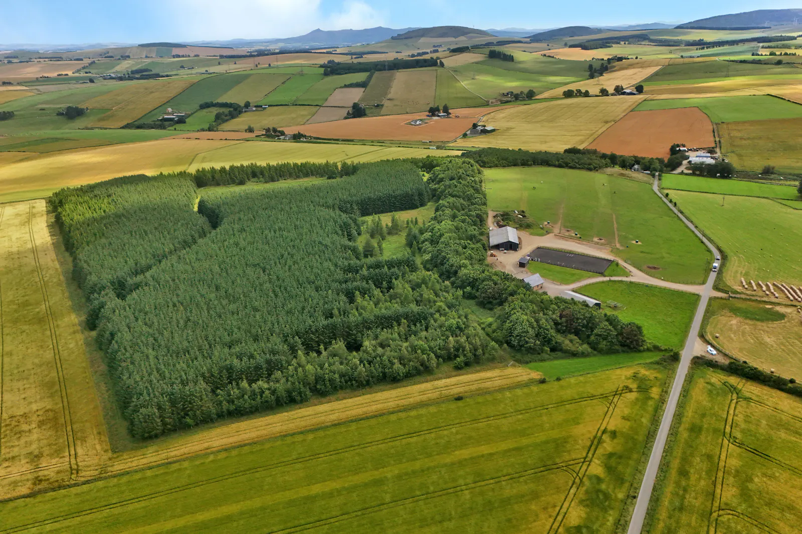
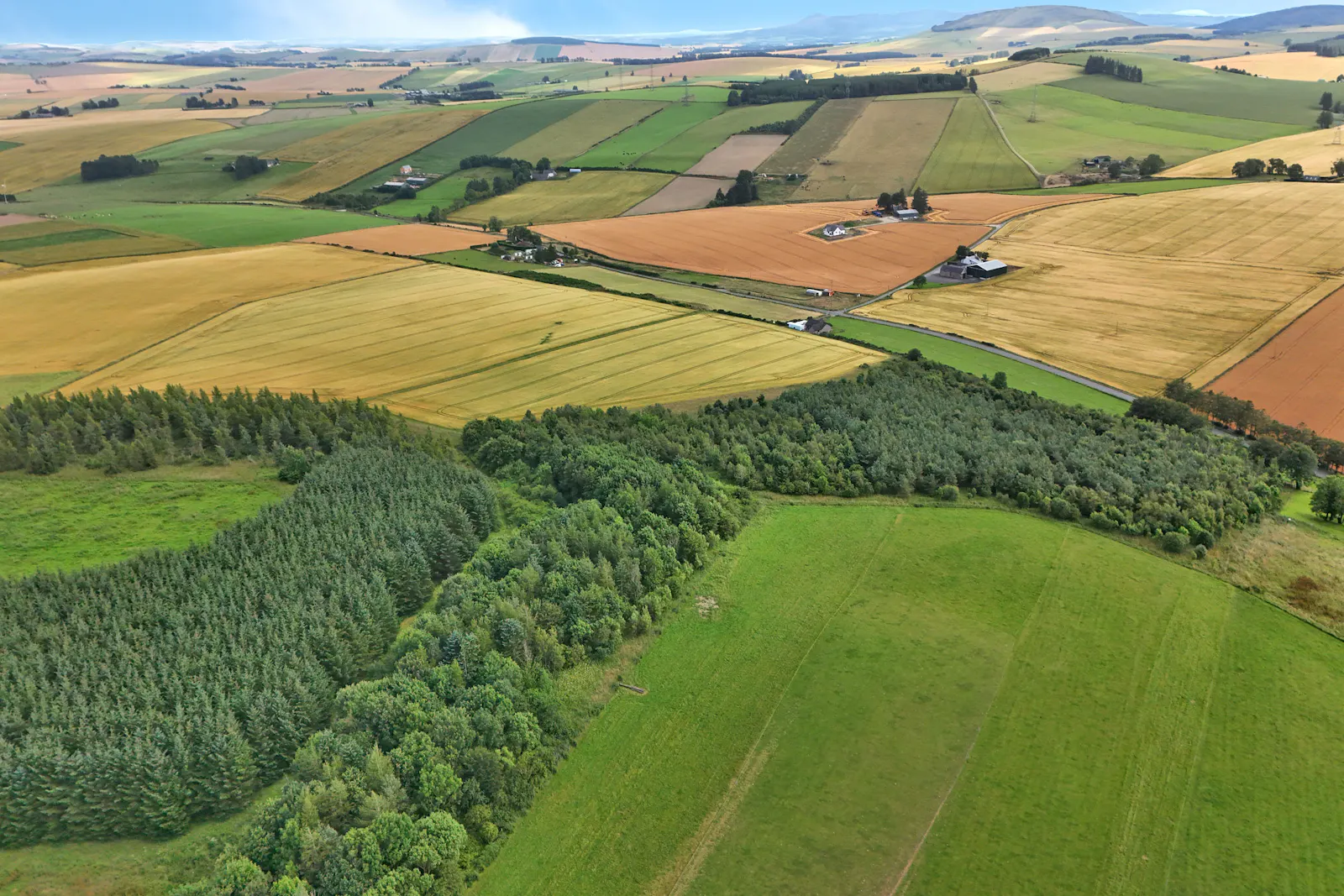
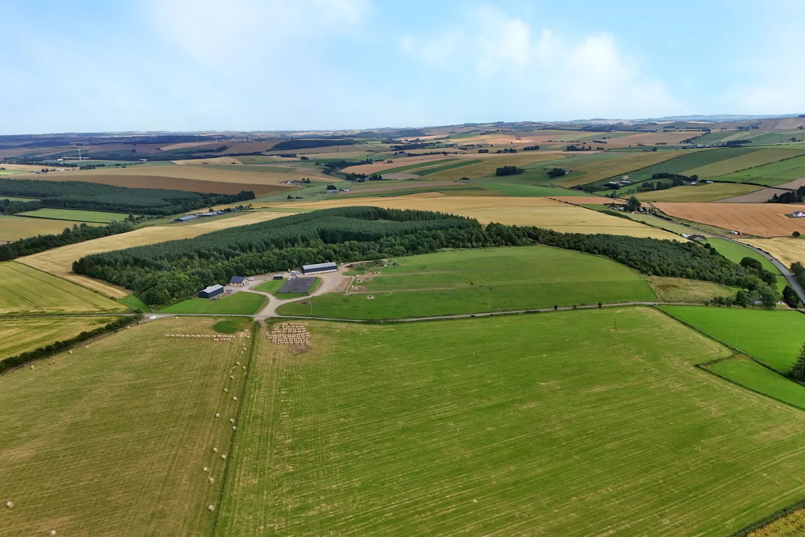
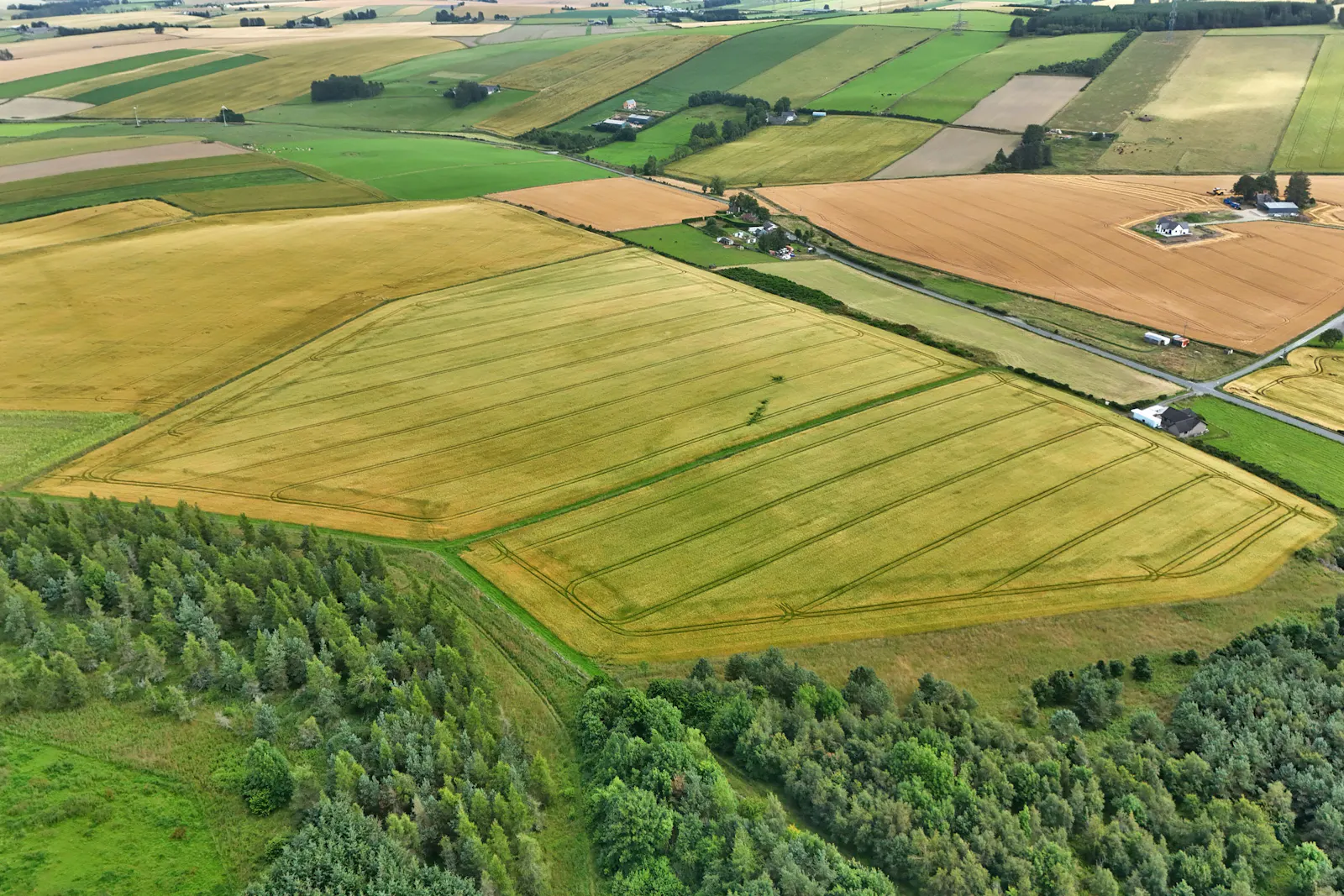
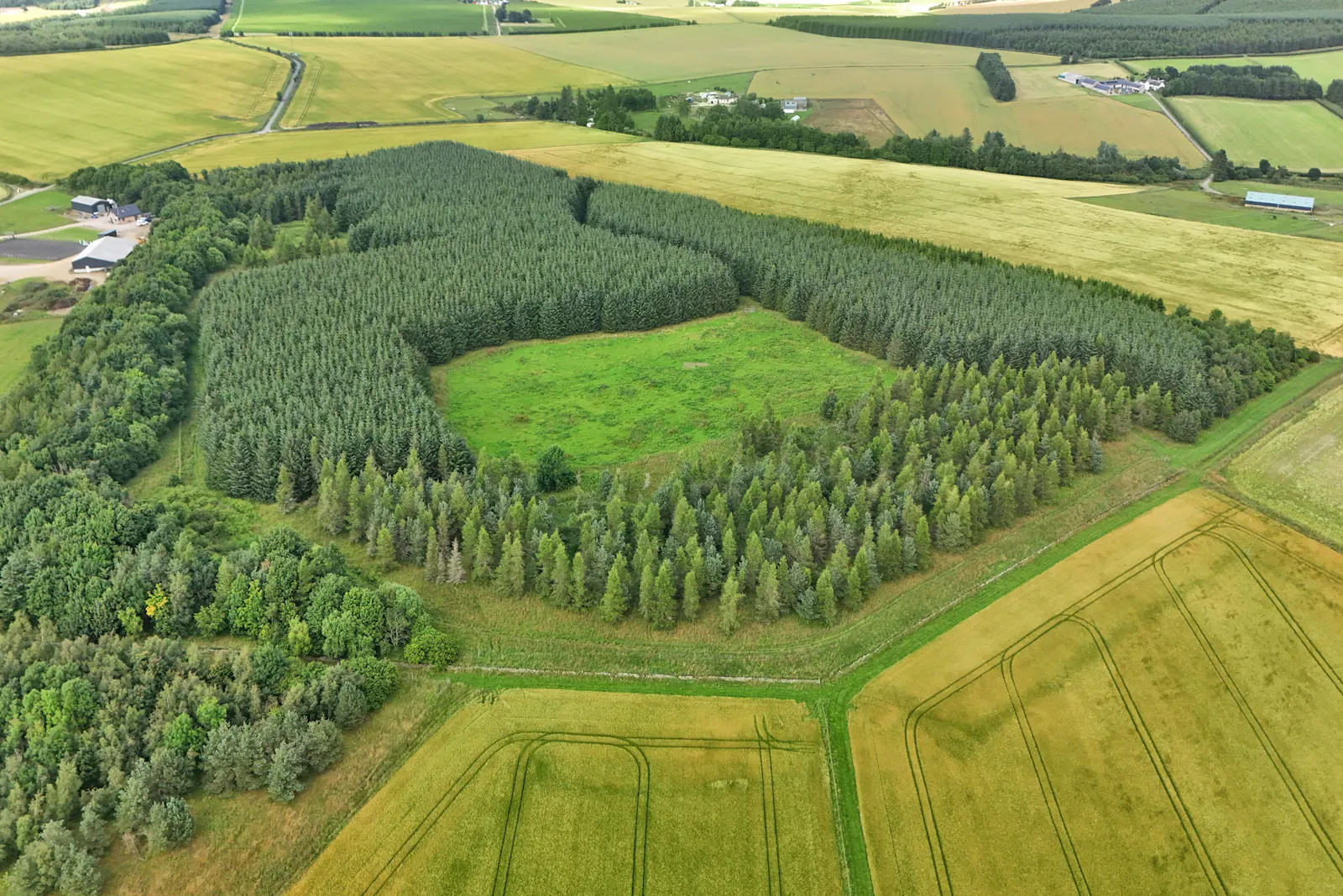
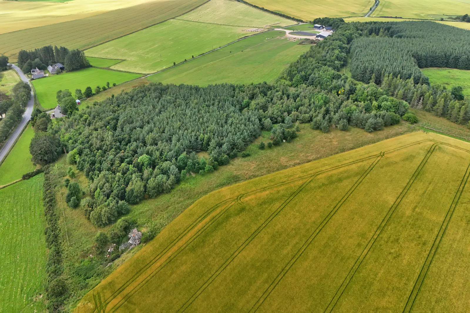
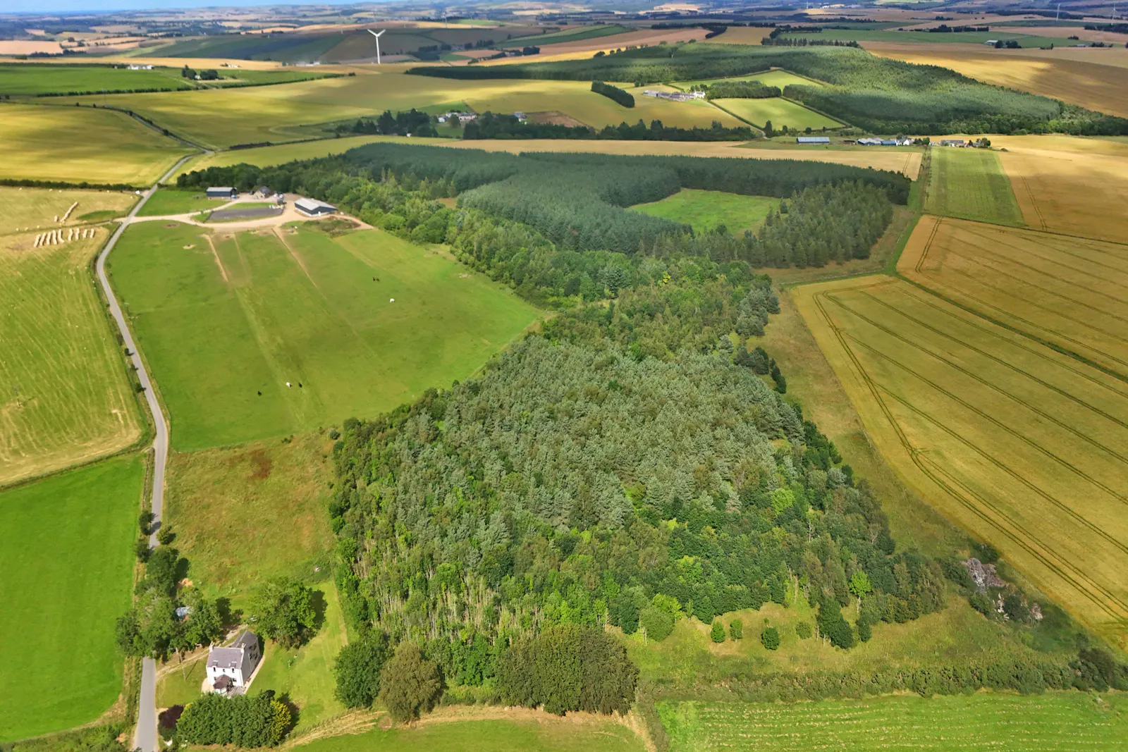
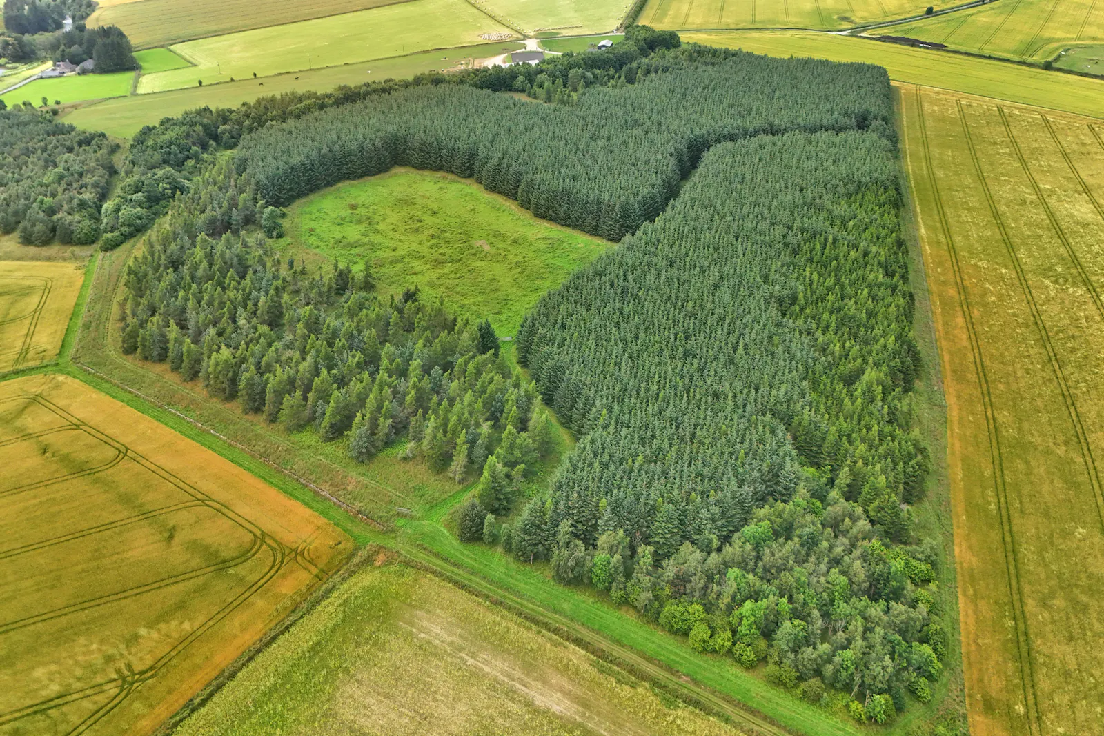
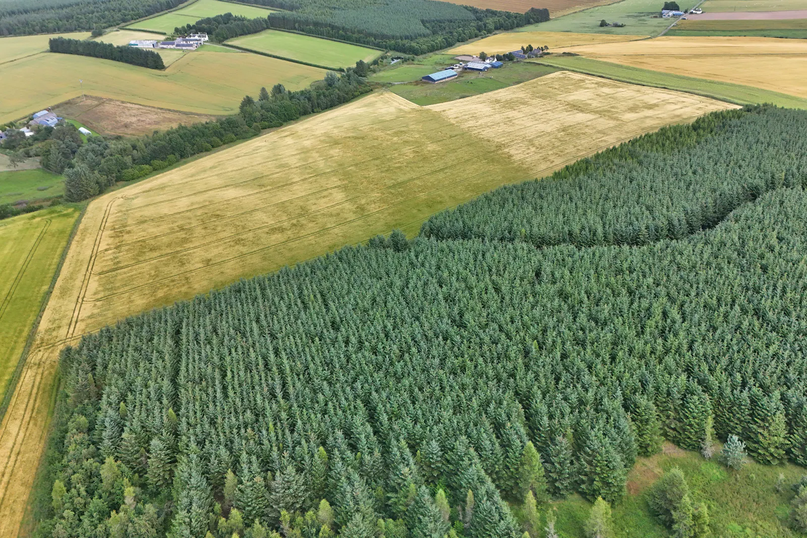
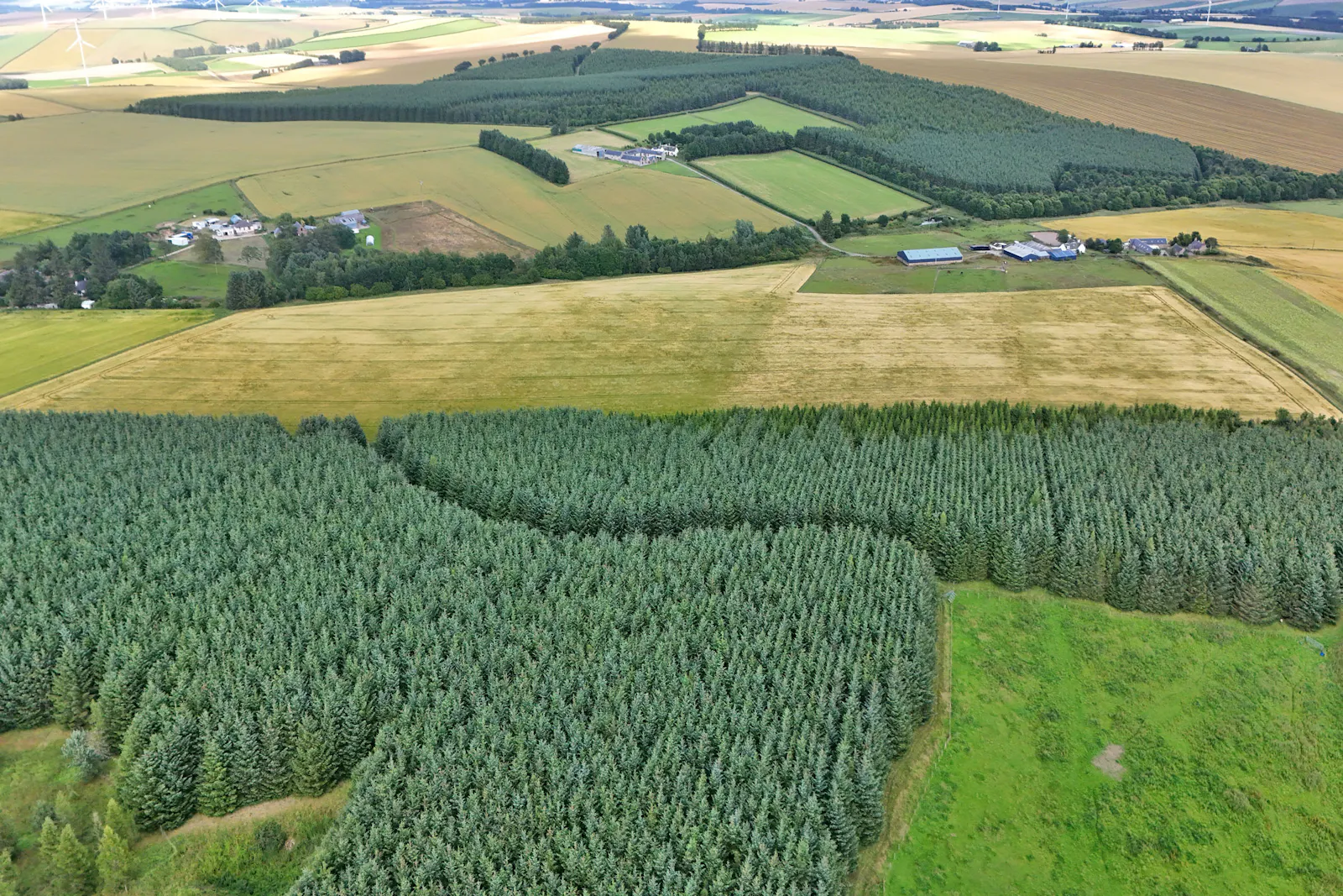
104 Acres Enquire NowAttractive parcel of land and woodlands near Rothienorman extending to 42 Ha (104 acres)
Summary
- CLOSING DATE 12 NOON 22ND SEPTEMBER
- 67 acres of arable land
- 37 acres of mature mixed woodland
- Easily accessed
Location
The subjects of sale or located approximately 16 miles north west of Inverurie and 14 miles east of Huntly in the north of Aberdeenshire. The property is accessed from a single farm track with rural surroundings. A rural hamlet of residential properties exists alongside this track at Upper Gariochsford.
Get directions from Google Maps
Mainline Stations
-
Huntly157 mins
-
Insch172 mins
-
Inverurie271 mins
-
Keith307 mins
Underground Station
-
Chesham7828 mins
-
Amersham7870 mins
-
Broxbourne7876 mins
-
Chalfont and Latimer7884 mins
Further Information
Price Offers from £450,000
Rates Payable Upon Enquiry
EPC Rating This property has been set as EPC exempt.
Reason: No building present
Description
The woodlands have been subject to Scottish Forestry Grant Schemes between 1991 and 1994 and 2004, predominantly with conifers and native broadleaves, complemented by some areas of mixed conifers to provide diversity. The woodland sits within an area offering favourable growing conditions supported by a mild, wet climate and productive soils.
The arable land is in crop, by agreement until October 31st October. Access is permitted over the route shaded brown on the attached plan. Boundaries, where fenced, are predominantly of post and wire. The soil class is 3.2 and the forestry class is F5. A disused quarry lies to the south according to historic maps. The current SEPA maps identify minor areas at risk of surface water flooding. The land lies at approximately 181 metres above sea level. The area is shown on the Meteorological Office Annual Average Rainfall Chart as having rainfall in the region of 912 millimetres per annum.
Mineral rights are included so far as the seller has right thereto. The property will be sold with the benefit of, and subject to, all existing rights and burdens with the Titles. We are not aware of designations impacting the property. Interested parties should carry out their own searches
Gallery