Development Land at Station Road, Crewkerne, Station Road
Crewkerne, TA18 8AJ
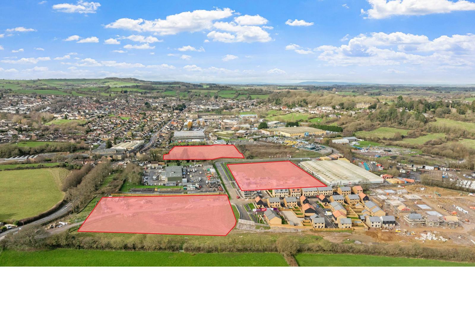
1.37 to 3.76 Acres Enquire NowFully serviced development platforms available with vacant possession. Full details of servicing and utilities specification available.
Summary
- Fully serviced development parcels
- Good road frontage, to be further improved by new link road
- Close proximity to train station
- Close proximity to existing settlement and population
- Employment parcels of 1.37ac and 3.76ac
- Commercial parcel of 2.48 ac
Location
Crewkerne is located approximately 12km (7. 5 miles) south west of Yeovil and 11.5km east of Chard (7.1m). The A303 is 5.3 miles by road to the north with journey times to the South Petherton junction of 12 minutes.
The available parcels are located adjacent to an existing industrial park and are 800m east of the town center and 800m north west of Crewkerne railway station.
Get directions from Google Maps
Mainline Stations
-
Crewkerne8 mins
-
Yeovil Junction155 mins
-
Yeovil Pen Mill166 mins
-
Thornford175 mins
Underground Station
-
Reading1700 mins
-
Twyford1791 mins
-
Maidenhead1921 mins
-
Taplow1955 mins
Further Information
Rates Payable Upon Enquiry
Description
The land available for purchase forms part of Taylor Wimpey’s eastern extension to Crewkerne comprising the following planning applications for a total of 635 units and 9.29 net acres of commercial/employment land:
05/00661/OUT - Comprehensive mixed use development for 525 dwellings, employment (B1, B2, B8) primary school, community facilities, playing fields, parkland, P.O.S. structural landscaping and associated infrastructure including link road and highway improvements.
14/02141/OUT (amended under 19/03483/S73) - up to 110 residential dwellings (Use Class C3) including layout, scale, appearance and landscaping.
The development significantly redesigns Crewkerne’s road network by providing a link road which will carry traffic around the eastern settlement boundary. Residential development is predominantly allocated to the northern end of the site and commercial, employment, and care uses on the southern junction.
The Opportunity
The parcels will be presented to the market as fully serviced development platforms available with vacant possession. Full details of servicing
and utilities specification are detailed on the ‘Land Transfer Plan – Utilities’ included in the information pack.
Alternative lot sizes to those presented can be discussed.
Proposals
Proposals are invited for the purchase of the freehold of serviced parcels with vacant possession.
Viewings
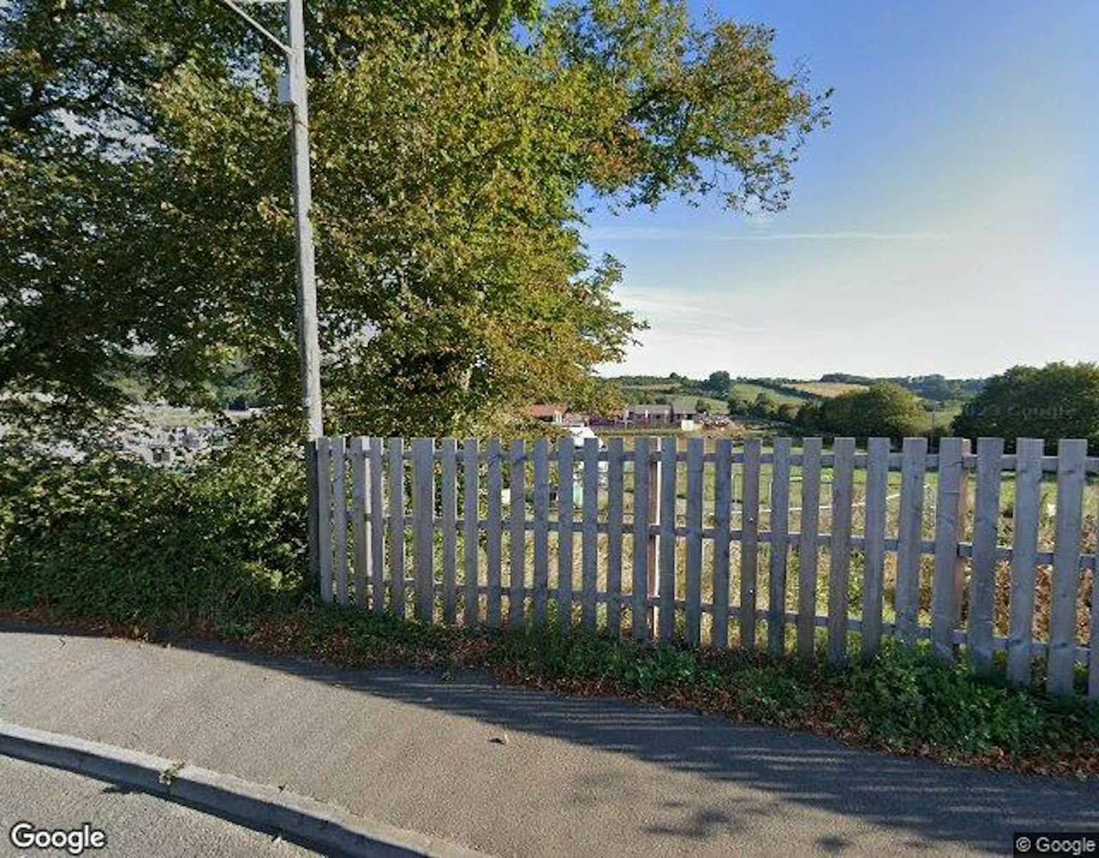
The site is visible from the public highway. If you would like to walk the land this is by appointment only. Neither our clients nor their agents will be
responsible for any damage or loss caused to any potential purchasers, their agents, or consultants whilst on site.
Gallery